 vesseltracker.com
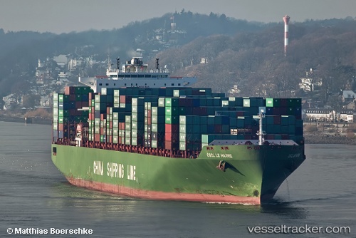
Find the position of the vessel Le Havre on the map. The latter are known coordinates and path.
marine traffic ship tracker show on live map
The current position of vessel Le Havre is 39.7553 lat / 152.957 lng. Updated: 2025-07-26 16:24:39 UTCCurrently sailing under the flag of Cyprus
Le Havre built in 2006 year
Deadweight:
111737 tDetails:
Last coordinates of the vessel:
UTC, 39.6829, 152.709, course: 68, speed: 20.6UTC, 39.7034, 152.778, course: 68, speed: 20.5
UTC, 39.7115, 152.805, course: 68, speed: 20.5
2025-07-26 16:24:39 UTC, 39.7553, 152.957, course: 68, speed: 20.4