 vesseltracker.com
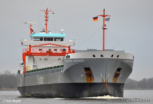
Vessel LAUNKALNE IMO: 9504114, MMSI: 210388000 General Cargo Ship
UTC, 59.53535, 22.78600, course: 254, speed: 11.5
UTC, 59.46350, 22.45535, course: 234, speed: 11.1
2026-01-17 19:17:41 UTC, 59.37932, 22.22966, course: 233, speed: 12
Live AIS position:
UTC. 24 nm NW of Lehtma),
updated 2026-01-17 19:17:41 UTC.
Find the position of the vessel LAUNKALNE on the map. The latter are known coordinates and path.
marine traffic ship tracker show on live map
The current position of vessel LAUNKALNE is 59.37932 lat / 22.22966 lng. Updated: 2026-01-17 19:17:41 UTCCurrently sailing under the flag of Cyprus
LAUNKALNE built in 2010 year
Deadweight:
11048 tDetails:
Last coordinates of the vessel:
UTC, 59.54252, 22.83450, course: 254, speed: 11.4UTC, 59.53535, 22.78600, course: 254, speed: 11.5
UTC, 59.46350, 22.45535, course: 234, speed: 11.1
2026-01-17 19:17:41 UTC, 59.37932, 22.22966, course: 233, speed: 12