 vesseltracker.com
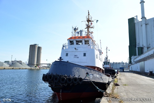
Find the position of the vessel MASTER on the map. The latter are known coordinates and path.
marine traffic ship tracker show on live map
The current position of vessel MASTER is 42.93523 lat / 10.54276 lng. Updated: 2025-10-28 10:50:24 UTCCurrently sailing under the flag of Cyprus
MASTER built in 1978 year
Deadweight:
0 tDetails:
Last coordinates of the vessel:
UTC, 42.93500, 10.54167, course: -1, speed: 0UTC, 42.93500, 10.54167, course: -1, speed: 0
UTC, 42.93524, 10.54276, course: 84, speed: 0
2025-10-28 10:50:24 UTC, 42.93523, 10.54276, course: 84, speed: 0