 vesseltracker.com
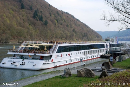
Find the position of the vessel A Rosa Donna on the map. The latter are known coordinates and path.
marine traffic ship tracker show on live map
The current position of vessel A Rosa Donna is 48.2383 lat / 14.5233 lng. Updated: 2025-09-05 00:31:34 UTCCurrently sailing under the flag of Germany
Details:
Last coordinates of the vessel:
UTC, 48.2383, 14.5233, course: -1, speed: 11UTC, 48.2383, 14.5233, course: -1, speed: 11
UTC, 48.2383, 14.5233, course: -1, speed: 11
2025-09-05 00:31:34 UTC, 48.2383, 14.5233, course: -1, speed: 11