 vesseltracker.com
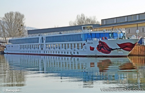
Live AIS position:
48.31273° N, 14.31708° E UTC. Near LINZ),
updated 2025-11-21 07:53:13 UTC.
Find the position of the vessel A Rosa Mia on the map. The latter are known coordinates and path.
marine traffic ship tracker show on live map
The current position of vessel A Rosa Mia is 48.31273 lat / 14.31708 lng. Updated: 2025-11-21 07:53:13 UTCCurrently sailing under the flag of Germany
Details:
Last coordinates of the vessel:
UTC, 48.31273, 14.31708, course: -1, speed: 0UTC, 48.31274, 14.31707, course: -1, speed: 0
UTC, 48.31272, 14.31708, course: -1, speed: 0
2025-11-21 07:53:13 UTC, 48.31273, 14.31708, course: -1, speed: 0