 vesseltracker.com
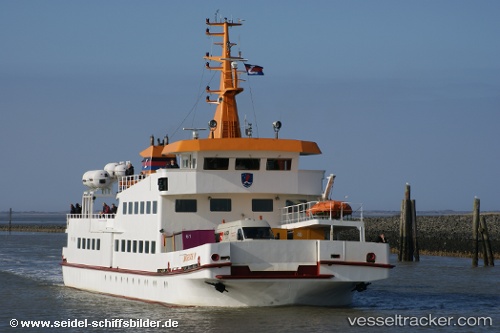
Find the position of the vessel Langeoog 4 on the map. The latter are known coordinates and path.
marine traffic ship tracker show on live map
The current position of vessel Langeoog 4 is 53.67800 lat / 7.57351 lng. Updated: 2025-11-06 03:20:27 UTCDetails:
Last coordinates of the vessel:
UTC, 53.67800, 7.57351, course: 90, speed: 0UTC, 53.67798, 7.57346, course: 90, speed: 0
UTC, 53.67797, 7.57345, course: 90, speed: 0
2025-11-06 03:20:27 UTC, 53.67800, 7.57351, course: 91, speed: 0