 vesseltracker.com
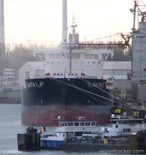
Live AIS position:
17.70753° N, 83.28378° E UTC. Near Aal-SEZ/Vishakhapatnam),
updated 2025-11-21 03:42:02 UTC.
Find the position of the vessel Saita I on the map. The latter are known coordinates and path.
marine traffic ship tracker show on live map
The current position of vessel Saita I is 17.70753 lat / 83.28378 lng. Updated: 2025-11-21 03:42:02 UTCDetails:
Last coordinates of the vessel:
UTC, 17.70667, 83.28333, course: -1, speed: 0UTC, 17.70667, 83.28333, course: -1, speed: 0
UTC, 17.70667, 83.28333, course: -1, speed: 0
2025-11-21 03:42:02 UTC, 17.70753, 83.28378, course: 140, speed: 0