 vesseltracker.com
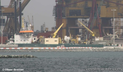
Live AIS position:
25.95187° N, 56.05707° E UTC. Near Rak Maritime City),
updated 2025-11-23 20:36:55 UTC.
Find the position of the vessel Coastway on the map. The latter are known coordinates and path.
marine traffic ship tracker show on live map
The current position of vessel Coastway is 25.95187 lat / 56.05707 lng. Updated: 2025-11-23 20:36:55 UTCDetails:
Last coordinates of the vessel:
UTC, 25.95187, 56.05705, course: 193, speed: 0UTC, 25.95187, 56.05707, course: 192, speed: 0
UTC, 25.95187, 56.05706, course: 193, speed: 0
2025-11-23 20:36:55 UTC, 25.95187, 56.05707, course: 192, speed: 0