 vesseltracker.com
Live AIS position:
40.77203° N, 18.08693° E UTC. Near Porto Di Brindisi),
updated 2025-11-20 00:29:55 UTC.
Find the position of the vessel Irma on the map. The latter are known coordinates and path.
marine traffic ship tracker show on live map
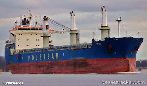
The current position of vessel Irma is 40.77203 lat / 18.08693 lng. Updated: 2025-11-20 00:29:55 UTCCurrently sailing under the flag of Cyprus
Irma built in 2000 year
Deadweight:
34947 tDetails:
Last coordinates of the vessel:
UTC, 40.51941, 18.39183, course: 331, speed: 11.5UTC, 40.64751, 18.26959, course: 313, speed: 11.9
UTC, 40.77203, 18.08693, course: 313, speed: 11.6
2025-11-20 00:29:55 UTC, 40.77203, 18.08693, course: 313, speed: 11.6