 vesseltracker.com
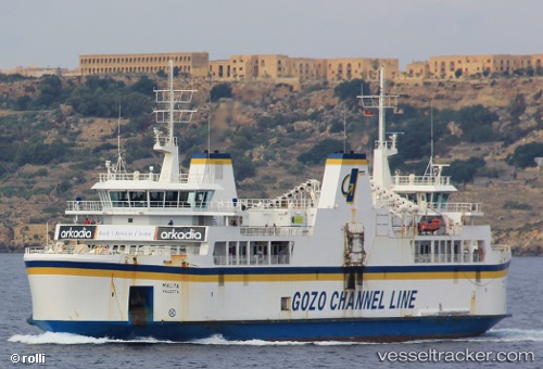
Find the position of the vessel Malita on the map. The latter are known coordinates and path.
marine traffic ship tracker show on live map
The current position of vessel Malita is 35.9893 lat / 14.3293 lng. Updated: 2025-11-12 18:23:35 UTCCurrently sailing under the flag of Malta
Malita built in 2002 year
Deadweight:
1100 tDetails:
Last coordinates of the vessel:
UTC, 35.9893, 14.3293, course: 226, speed: 0UTC, 35.9893, 14.3293, course: 226, speed: 0
UTC, 35.9893, 14.3293, course: 226, speed: 0
2025-11-12 18:23:35 UTC, 35.9893, 14.3293, course: 226, speed: 0