 vesseltracker.com
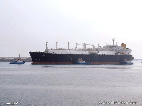
Vessel Disha IMO: 9250713, MMSI: 215533000 Lng Tanker
UTC, 21.6667, 72.4843, course: 216, speed: 6.3
UTC, 21.1788, 72.2563, course: 210, speed: 17.8
2026-01-14 23:41:25 UTC, 20.9085, 72.1234, course: 194, speed: 18.5
Live AIS position:
UTC. 30 nm W of Hazira Port/Surat),
updated 2026-01-14 23:41:25 UTC.
Find the position of the vessel Disha on the map. The latter are known coordinates and path.
marine traffic ship tracker show on live map
The current position of vessel Disha is 20.9085 lat / 72.1234 lng. Updated: 2026-01-14 23:41:25 UTCDetails:
Last coordinates of the vessel:
UTC, 21.6745, 72.5095, course: 179, speed: 0.1UTC, 21.6667, 72.4843, course: 216, speed: 6.3
UTC, 21.1788, 72.2563, course: 210, speed: 17.8
2026-01-14 23:41:25 UTC, 20.9085, 72.1234, course: 194, speed: 18.5