 vesseltracker.com
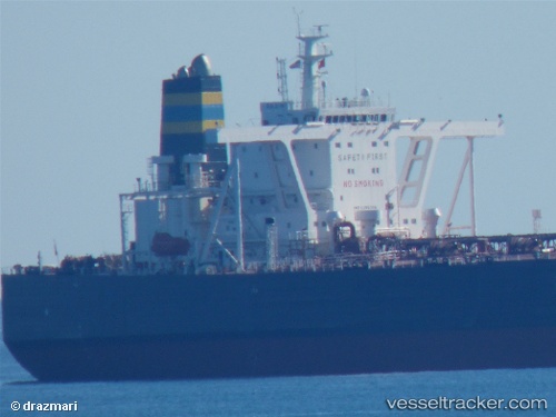
Find the position of the vessel Desimi on the map. The latter are known coordinates and path.
marine traffic ship tracker show on live map
The current position of vessel Desimi is -23.1377 lat / -44.4017 lng. Updated: 2025-11-16 10:18:56 UTCCurrently sailing under the flag of Malta
Desimi built in 2011 year
Deadweight:
296865 tDetails:
Last coordinates of the vessel:
UTC, -23.1233, -44.4283, course: -1, speed: 0UTC, -23.1238, -44.4272, course: 343, speed: 0.1
UTC, -23.1217, -44.425, course: -1, speed: 0
2025-11-16 10:18:56 UTC, -23.1377, -44.4017, course: 69, speed: 6.2