 vesseltracker.com
Find the position of the vessel Hope A on the map. The latter are known coordinates and path.
marine traffic ship tracker show on live map
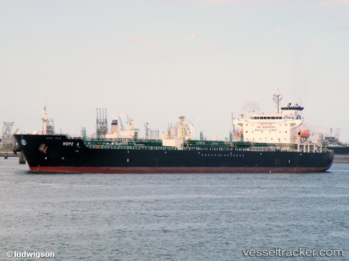
The current position of vessel Hope A is 35.8166 lat / 14.5454 lng. Updated: 2025-10-01 14:35:43 UTCCurrently sailing under the flag of Malta
Hope A built in 2004 year
Deadweight:
40095 tDetails:
Last coordinates of the vessel:
UTC, 35.8166, 14.5454, course: 48, speed: 0UTC, 35.8166, 14.5454, course: 48, speed: 0
UTC, 35.8166, 14.5454, course: 48, speed: 0
2025-10-01 14:35:43 UTC, 35.8166, 14.5454, course: 48, speed: 0