 vesseltracker.com
Find the position of the vessel Royal Clipper on the map. The latter are known coordinates and path.
marine traffic ship tracker show on live map
The current position of vessel Royal Clipper is 42.4474 lat / 18.7609 lng. Updated: 2025-08-20 07:56:15 UTCCurrently sailing under the flag of Malta
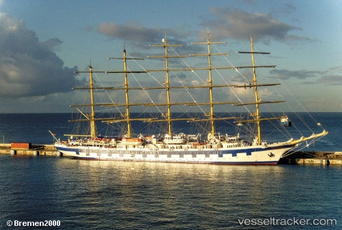
Royal Clipper built in 2000 year
Deadweight:
1000 tDetails:
Last coordinates of the vessel:
UTC, 42.4474, 18.7609, course: 12, speed: 0UTC, 42.4474, 18.7609, course: 12, speed: 0
UTC, 42.4474, 18.7609, course: 12, speed: 0
2025-08-20 07:56:15 UTC, 42.4474, 18.7609, course: 12, speed: 0
The ship also appears on the maps: