 vesseltracker.com
Find the position of the vessel Mariner A on the map. The latter are known coordinates and path.
marine traffic ship tracker show on live map
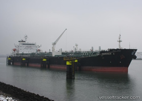
The current position of vessel Mariner A is 44.7322 lat / 37.7739 lng. Updated: 2025-10-21 22:26:54 UTCCurrently sailing under the flag of Malta
Mariner A built in 2005 year
Deadweight:
40099 tDetails:
Last coordinates of the vessel:
UTC, 44.5132, 38.004, course: 262, speed: 14.6UTC, 44.5181, 37.9889, course: 262, speed: 30.5
UTC, 44.728, 37.7744, course: 262, speed: 5.5
2025-10-21 22:26:54 UTC, 44.7322, 37.7739, course: 262, speed: 17.8