 vesseltracker.com
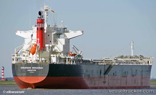
Find the position of the vessel SAINT MYRON on the map. The latter are known coordinates and path.
marine traffic ship tracker show on live map
The current position of vessel SAINT MYRON is 30.4399 lat / 49.0484 lng. Updated: 2025-11-17 12:42:28 UTCCurrently sailing under the flag of Malta
SAINT MYRON built in 2014 year
Deadweight:
77116 tDetails:
Last coordinates of the vessel:
UTC, 30.44, 49.0484, course: 296, speed: 0UTC, 30.4399, 49.0485, course: 296, speed: 0.1
UTC, 30.4399, 49.0484, course: 296, speed: 0
2025-11-17 12:42:28 UTC, 30.4399, 49.0484, course: 296, speed: 0