 vesseltracker.com
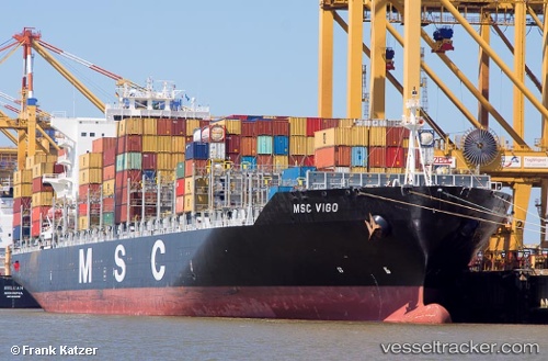
Vessel Msc Vigo IMO: 9480227, MMSI: 218853000 Container Ship
UTC, 51.9709, 2.87766, course: 47, speed: 12.7
UTC, 52.1321, 3.12475, course: 50, speed: 12.2
2026-01-17 03:58:26 UTC, 52.2798, 3.38254, course: 46, speed: 11.7
Live AIS position:
UTC. 22 nm SE of Craven Arms),
updated 2026-01-17 03:58:26 UTC.
Find the position of the vessel Msc Vigo on the map. The latter are known coordinates and path.
marine traffic ship tracker show on live map
The current position of vessel Msc Vigo is 52.2798 lat / 3.38254 lng. Updated: 2026-01-17 03:58:26 UTCCurrently sailing under the flag of Germany
Msc Vigo built in 2012 year
Deadweight:
73800 tDetails:
Last coordinates of the vessel:
UTC, 51.803, 2.63091, course: 46, speed: 13.1UTC, 51.9709, 2.87766, course: 47, speed: 12.7
UTC, 52.1321, 3.12475, course: 50, speed: 12.2
2026-01-17 03:58:26 UTC, 52.2798, 3.38254, course: 46, speed: 11.7