 vesseltracker.com
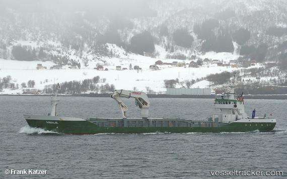
Find the position of the vessel AMALIE on the map. The latter are known coordinates and path.
marine traffic ship tracker show on live map
The current position of vessel AMALIE is 61.87253 lat / 5.22303 lng. Updated: 2025-10-24 05:29:53 UTCCurrently sailing under the flag of Denmark (DIS)
AMALIE built in 1997 year
Deadweight:
2035 tDetails:
Last coordinates of the vessel:
UTC, 61.62530, 5.01422, course: 268, speed: 10.2UTC, 61.70921, 4.96361, course: 358, speed: 10.2
UTC, 61.79883, 5.11758, course: 51, speed: 10
2025-10-24 05:29:53 UTC, 61.87253, 5.22303, course: 294, speed: 10.7