 vesseltracker.com
Find the position of the vessel Langeland on the map. The latter are known coordinates and path.
marine traffic ship tracker show on live map
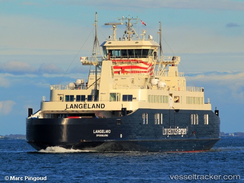
The current position of vessel Langeland is 54.93489 lat / 10.83377 lng. Updated: 2025-10-19 01:21:50 UTCCurrently sailing under the flag of Denmark
Langeland built in 2012 year
Deadweight:
972 tDetails:
Last coordinates of the vessel:
UTC, 54.93487, 10.83381, course: -1, speed: 0UTC, 54.93489, 10.83382, course: -1, speed: 0
UTC, 54.93490, 10.83382, course: -1, speed: 0
2025-10-19 01:21:50 UTC, 54.93489, 10.83377, course: -1, speed: 0