 vesseltracker.com
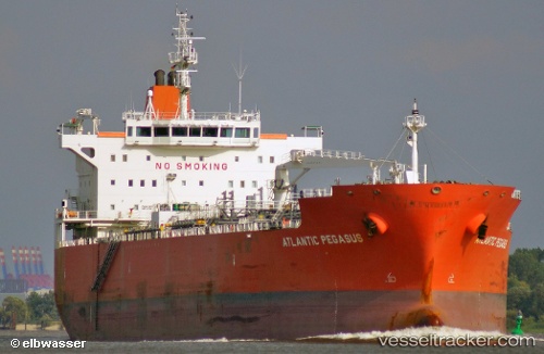
Vessel Unknown IMO: 9440136, MMSI: 219028049
UTC, 41.60667, -69.57333, course: -1, speed: 12
UTC, 41.46514, -69.46899, course: 147, speed: 11
2026-01-19 00:34:19 UTC, 41.30454, -69.35355, course: 156, speed: 11.9
Live AIS position:
UTC. 33 nm E of NANTUCKET),
updated 2026-01-19 00:34:19 UTC.
Find the position of the vessel Unknown on the map. The latter are known coordinates and path.
marine traffic ship tracker show on live map
The current position of vessel Unknown is 41.30454 lat / -69.35355 lng. Updated: 2026-01-19 00:34:19 UTCDetails:
Last coordinates of the vessel:
UTC, 41.71167, -69.64500, course: -1, speed: 13UTC, 41.60667, -69.57333, course: -1, speed: 12
UTC, 41.46514, -69.46899, course: 147, speed: 11
2026-01-19 00:34:19 UTC, 41.30454, -69.35355, course: 156, speed: 11.9