 vesseltracker.com
Live AIS position:
47.27892° N, 2.20090° W UTC. Near ST NAZAIRE),
updated 2025-11-21 11:11:04 UTC.
Find the position of the vessel Oralora on the map. The latter are known coordinates and path.
marine traffic ship tracker show on live map
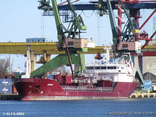
The current position of vessel Oralora is 47.27892 lat / -2.20090 lng. Updated: 2025-11-21 11:11:04 UTCCurrently sailing under the flag of Denmark
Oralora built in 2009 year
Deadweight:
4139 tDetails:
Last coordinates of the vessel:
UTC, 47.27893, -2.20088, course: 195, speed: 0UTC, 47.27893, -2.20090, course: 195, speed: 0
UTC, 47.27893, -2.20088, course: 195, speed: 0
2025-11-21 11:11:04 UTC, 47.27892, -2.20090, course: 197, speed: 0