 vesseltracker.com
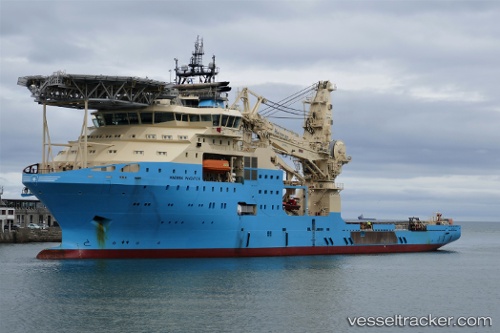
Vessel '219366000' IMO: 9753935, MMSI: 219366000
UTC, -20.51227, 115.17616, course: 47, speed: 8.8
UTC, -20.37482, 115.34494, course: 60, speed: 7.9
2026-01-17 15:01:42 UTC, -20.33208, 115.41628, course: 61, speed: 7.7
Live AIS position:
UTC. 30 nm N of Barrow Island),
updated 2026-01-17 15:01:42 UTC.
Find the position of the vessel '219366000' on the map. The latter are known coordinates and path.
marine traffic ship tracker show on live map
The current position of vessel '219366000' is -20.33208 lat / 115.41628 lng. Updated: 2026-01-17 15:01:42 UTCDetails:
Last coordinates of the vessel:
UTC, -20.63442, 115.03020, course: 47, speed: 8.4UTC, -20.51227, 115.17616, course: 47, speed: 8.8
UTC, -20.37482, 115.34494, course: 60, speed: 7.9
2026-01-17 15:01:42 UTC, -20.33208, 115.41628, course: 61, speed: 7.7