 vesseltracker.com
Live AIS position:
22.94629° S, 14.49865° E UTC. Near Walvisbaai),
updated 2025-11-21 20:18:55 UTC.
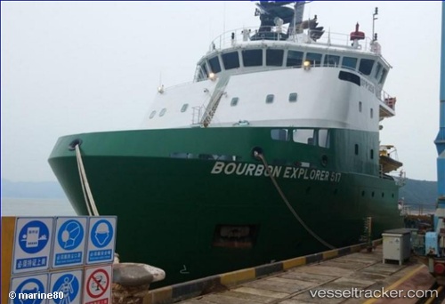
Find the position of the vessel Bourbon Explorer 517 on the map. The latter are known coordinates and path.
marine traffic ship tracker show on live map
The current position of vessel Bourbon Explorer 517 is -22.94629 lat / 14.49865 lng. Updated: 2025-11-21 20:18:55 UTCDetails:
Last coordinates of the vessel:
UTC, -22.94626, 14.49868, course: 49, speed: 0UTC, -22.94500, 14.49833, course: -1, speed: 0
UTC, -22.94500, 14.49833, course: -1, speed: 0
2025-11-21 20:18:55 UTC, -22.94629, 14.49865, course: 48, speed: 0