 vesseltracker.com
Find the position of the vessel Key East on the map. The latter are known coordinates and path.
marine traffic ship tracker show on live map
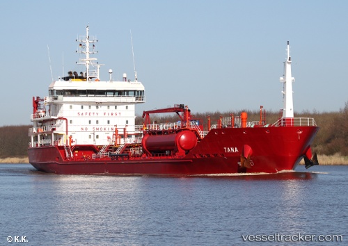
The current position of vessel Key East is 55.49946 lat / 15.71256 lng. Updated: 2025-11-15 14:49:07 UTCCurrently sailing under the flag of Malta
Key East built in 2011 year
Deadweight:
6480 tDetails:
Last coordinates of the vessel:
UTC, 55.41469, 16.31541, course: 283, speed: 10.8UTC, 55.41469, 16.31541, course: 283, speed: 10.8
UTC, 55.47719, 15.87286, course: 283, speed: 11.4
2025-11-15 14:49:07 UTC, 55.49946, 15.71256, course: 284, speed: 11.1