 vesseltracker.com
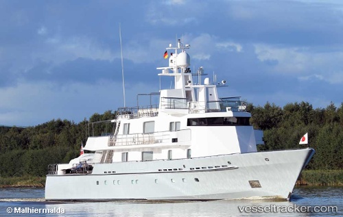
Find the position of the vessel SIDER TIS on the map. The latter are known coordinates and path.
marine traffic ship tracker show on live map
The current position of vessel SIDER TIS is 44.40888 lat / 8.92072 lng. Updated: 2025-11-02 19:42:59 UTCDetails:
Last coordinates of the vessel:
UTC, 44.40882, 8.92075, course: 343, speed: 0UTC, 44.40890, 8.92070, course: 343, speed: 0
UTC, 44.40891, 8.92069, course: 344, speed: 0
2025-11-02 19:42:59 UTC, 44.40888, 8.92072, course: 344, speed: 0