 vesseltracker.com
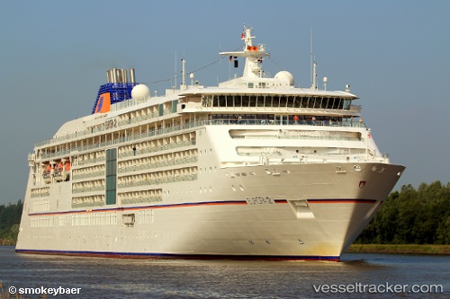
Find the position of the vessel Europa 2 on the map. The latter are known coordinates and path.
marine traffic ship tracker show on live map
The current position of vessel Europa 2 is 37.93798 lat / 23.63768 lng. Updated: 2025-09-30 09:38:23 UTCCurrently sailing under the flag of Malta
Europa 2 built in 2013 year
Deadweight:
5285 tDetails:
Last coordinates of the vessel:
UTC, 37.93798, 23.63768, course: 187, speed: 0UTC, 37.93798, 23.63768, course: 187, speed: 0
UTC, 37.93798, 23.63768, course: 187, speed: 0
2025-09-30 09:38:23 UTC, 37.93798, 23.63768, course: 187, speed: 0