 vesseltracker.com
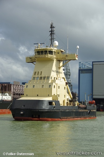
Find the position of the vessel Rautaruukki on the map. The latter are known coordinates and path.
marine traffic ship tracker show on live map
The current position of vessel Rautaruukki is 64.65667 lat / 24.40833 lng. Updated: 2025-10-10 15:36:28 UTCCurrently sailing under the flag of Finland
Rautaruukki built in 1986 year
Deadweight:
445 tDetails:
Last coordinates of the vessel:
UTC, 64.68881, 23.79373, course: 235, speed: 0.1UTC, 64.68833, 23.79333, course: -1, speed: 0
UTC, 64.64500, 24.20500, course: -1, speed: 11
2025-10-10 15:36:28 UTC, 64.65667, 24.40833, course: -1, speed: 0