 vesseltracker.com
Find the position of the vessel Tummas T on the map. The latter are known coordinates and path.
marine traffic ship tracker show on live map
The current position of vessel Tummas T is 62.11215 lat / -6.72652 lng. Updated: 2025-11-12 04:52:58 UTCCurrently sailing under the flag of Faroe Is
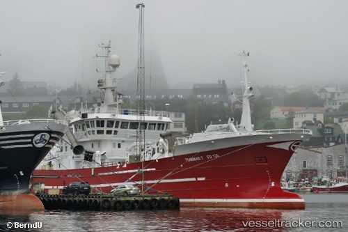
Tummas T built in 2002 year
Details:
Last coordinates of the vessel:
UTC, 62.11219, -6.72649, course: 88, speed: 0UTC, 62.11221, -6.72656, course: 88, speed: 0
UTC, 62.11221, -6.72653, course: 88, speed: 0
2025-11-12 04:52:58 UTC, 62.11215, -6.72652, course: 88, speed: 0
The ship also appears on the maps: