 vesseltracker.com
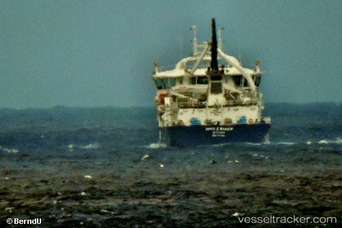
Find the position of the vessel Hans A Bakka on the map. The latter are known coordinates and path.
marine traffic ship tracker show on live map
The current position of vessel Hans A Bakka is 62.12723 lat / -6.73098 lng. Updated: 2025-10-29 13:25:27 UTCCurrently sailing under the flag of Faroe Is
Details:
Last coordinates of the vessel:
UTC, 62.12724, -6.73100, course: 338, speed: 0UTC, 62.12728, -6.73100, course: 338, speed: 0
UTC, 62.12724, -6.73099, course: 338, speed: 0
2025-10-29 13:25:27 UTC, 62.12723, -6.73098, course: 338, speed: 0