 vesseltracker.com
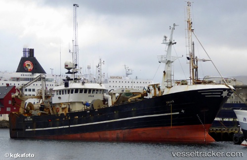
Vessel Fram IMO: 8814287, MMSI: 231160000 Fishing Vessel
UTC, 69.67027, 18.97565, course: 315, speed: 0
UTC, 69.67042, 18.97567, course: 315, speed: 0
2026-01-17 06:20:00 UTC, 69.67033, 18.97568, course: 315, speed: 0
Live AIS position:
UTC. Near Tromsø),
updated 2026-01-17 06:20:00 UTC.
Find the position of the vessel Fram on the map. The latter are known coordinates and path.
marine traffic ship tracker show on live map
The current position of vessel Fram is 69.67033 lat / 18.97568 lng. Updated: 2026-01-17 06:20:00 UTCDetails:
Last coordinates of the vessel:
UTC, 69.67035, 18.97575, course: 314, speed: 0UTC, 69.67027, 18.97565, course: 315, speed: 0
UTC, 69.67042, 18.97567, course: 315, speed: 0
2026-01-17 06:20:00 UTC, 69.67033, 18.97568, course: 315, speed: 0