 vesseltracker.com
Find the position of the vessel Earl Sigurd on the map. The latter are known coordinates and path.
marine traffic ship tracker show on live map
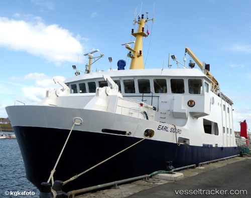
The current position of vessel Earl Sigurd is 58.98669 lat / -2.96108 lng. Updated: 2025-10-13 21:24:28 UTCCurrently sailing under the flag of United Kingdom
Earl Sigurd built in 1990 year
Deadweight:
231 tDetails:
Last coordinates of the vessel:
UTC, 58.98667, -2.96108, course: 145, speed: 0UTC, 58.98668, -2.96110, course: 145, speed: 0
UTC, 58.98667, -2.96107, course: 145, speed: 0
2025-10-13 21:24:28 UTC, 58.98669, -2.96108, course: 145, speed: 0