 vesseltracker.com
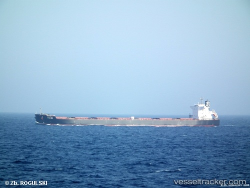
Find the position of the vessel Anglo Marimar on the map. The latter are known coordinates and path.
marine traffic ship tracker show on live map
The current position of vessel Anglo Marimar is -3.74855 lat / 114.46424 lng. Updated: 2025-11-16 01:38:34 UTCCurrently sailing under the flag of United Kingdom
Anglo Marimar built in 2011 year
Deadweight:
98000 tDetails:
Last coordinates of the vessel:
UTC, -3.75002, 114.46389, course: 297, speed: 0UTC, -3.74833, 114.46333, course: -1, speed: 0
UTC, -3.74833, 114.46333, course: -1, speed: 0
2025-11-16 01:38:34 UTC, -3.74855, 114.46424, course: 255, speed: 0