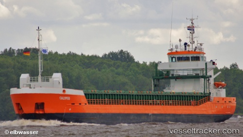
 vesseltracker.com
Find the position of the vessel CLARITY on the map. The latter are known coordinates and path.
marine traffic ship tracker show on live map
The current position of vessel CLARITY is 52.13889 lat / -6.97407 lng. Updated: 2025-11-15 10:16:16 UTCCurrently sailing under the flag of Isle of Man
CLARITY built in 2011 year
Deadweight:
3796 tDetails:
Last coordinates of the vessel:
UTC, 51.61010, -6.60198, course: 337, speed: 9.3UTC, 51.61010, -6.60198, course: 337, speed: 9.3
UTC, 51.86458, -6.77298, course: 337, speed: 9.5
2025-11-15 10:16:16 UTC, 52.13889, -6.97407, course: 127, speed: 0.2