 vesseltracker.com
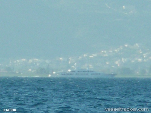
Find the position of the vessel Rio Rita on the map. The latter are known coordinates and path.
marine traffic ship tracker show on live map
The current position of vessel Rio Rita is 37.93029 lat / 23.68108 lng. Updated: 2025-11-18 18:32:09 UTCCurrently sailing under the flag of United Kingdom
Details:
Last coordinates of the vessel:
UTC, 37.93028, 23.68111, course: 68, speed: 0UTC, 37.93033, 23.68111, course: 68, speed: 0
UTC, 37.93030, 23.68112, course: 68, speed: 0
2025-11-18 18:32:09 UTC, 37.93029, 23.68108, course: 68, speed: 0