 vesseltracker.com
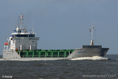
Find the position of the vessel Scot Isles on the map. The latter are known coordinates and path.
marine traffic ship tracker show on live map
The current position of vessel Scot Isles is 57.865 lat / 6.46147 lng. Updated: 2025-08-23 11:54:44 UTCCurrently sailing under the flag of United Kingdom
Scot Isles built in 2001 year
Deadweight:
3154 tDetails:
Last coordinates of the vessel:
UTC, 57.7549, 7.77047, course: 272, speed: 13.6UTC, 57.7668, 7.31605, course: 278, speed: 13.6
UTC, 57.7837, 6.99885, course: 273, speed: 13.2
2025-08-23 11:54:44 UTC, 57.865, 6.46147, course: 307, speed: 13.3