 vesseltracker.com
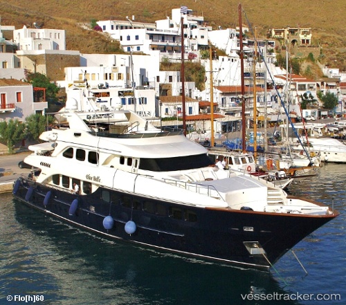
Find the position of the vessel My Blue Breeze on the map. The latter are known coordinates and path.
marine traffic ship tracker show on live map
The current position of vessel My Blue Breeze is 37.8799 lat / 23.7265 lng. Updated: 2025-05-14 07:02:22 UTCCurrently sailing under the flag of United Kingdom
My Blue Breeze built in 2003 year
Deadweight:
450 tDetails:
Last coordinates of the vessel:
UTC, 37.8799, 23.7265, course: 155, speed: 0UTC, 37.8799, 23.7265, course: 155, speed: 0
UTC, 37.8799, 23.7265, course: 155, speed: 0
UTC, 37.8799, 23.7265, course: 155, speed: 0
2025-05-14 07:02:22 UTC, 37.8799, 23.7265, course: 155, speed: 0