 vesseltracker.com
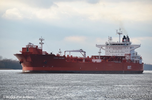
Find the position of the vessel Ingrid Knutsen on the map. The latter are known coordinates and path.
marine traffic ship tracker show on live map
The current position of vessel Ingrid Knutsen is 53.38074 lat / -3.00049 lng. Updated: 2025-10-13 01:01:38 UTCCurrently sailing under the flag of United Kingdom
Ingrid Knutsen built in 2013 year
Deadweight:
111634 tDetails:
Last coordinates of the vessel:
UTC, 53.38074, -3.00049, course: 150, speed: 0UTC, 53.38074, -3.00049, course: 150, speed: 0
UTC, 53.38074, -3.00048, course: 150, speed: 0
2025-10-13 01:01:38 UTC, 53.38074, -3.00049, course: 150, speed: 0