 vesseltracker.com
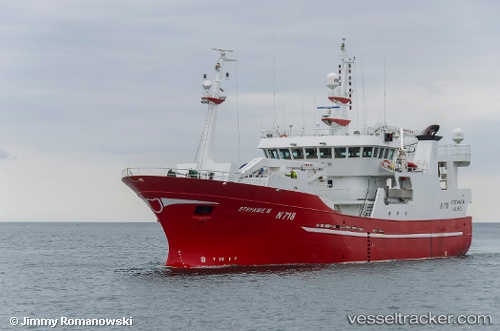
Find the position of the vessel Stefanie M on the map. The latter are known coordinates and path.
marine traffic ship tracker show on live map
The current position of vessel Stefanie M is 54.61020 lat / -5.91385 lng. Updated: 2025-11-04 03:42:48 UTCCurrently sailing under the flag of United Kingdom
Stefanie M built in 2005 year
Deadweight:
992 tDetails:
Last coordinates of the vessel:
UTC, 54.61025, -5.91390, course: 37, speed: 0UTC, 54.61021, -5.91379, course: 38, speed: 0
UTC, 54.61020, -5.91383, course: 38, speed: 0
2025-11-04 03:42:48 UTC, 54.61020, -5.91385, course: 37, speed: 0