 vesseltracker.com
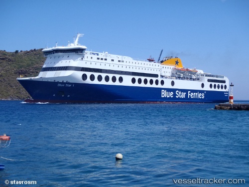
Find the position of the vessel Blue Star 1 on the map. The latter are known coordinates and path.
marine traffic ship tracker show on live map
The current position of vessel Blue Star 1 is 38.02883 lat / 23.49744 lng. Updated: 2025-10-13 15:34:57 UTCCurrently sailing under the flag of Greece
Blue Star 1 built in 2000 year
Deadweight:
4500 tDetails:
Last coordinates of the vessel:
UTC, 38.02884, 23.49742, course: 121, speed: 0UTC, 38.02885, 23.49743, course: 121, speed: 0
UTC, 38.02882, 23.49742, course: 121, speed: 0
2025-10-13 15:34:57 UTC, 38.02883, 23.49744, course: -1, speed: 0