 vesseltracker.com
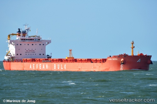
Find the position of the vessel Anna Maria on the map. The latter are known coordinates and path.
marine traffic ship tracker show on live map
The current position of vessel Anna Maria is 2.61194 lat / 105.04409 lng. Updated: 2025-11-12 02:50:24 UTCDetails:
Last coordinates of the vessel:
UTC, 2.20371, 104.93432, course: 18, speed: 10UTC, 2.36551, 104.98496, course: 10, speed: 9.8
UTC, 2.37665, 104.98755, course: 10, speed: 9.7
2025-11-12 02:50:24 UTC, 2.61194, 105.04409, course: 16, speed: 10.2