 vesseltracker.com
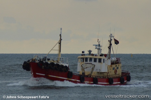
Vessel Maartje IMO: 7117400, MMSI: 244692000 Service Ship
UTC, 52.09753, 4.26880, course: 219, speed: 0.8
UTC, 52.10777, 4.25292, course: 353, speed: 8.3
2026-01-13 14:27:18 UTC, 52.13475, 4.25277, course: 4, speed: 10.4
Live AIS position:
UTC. Near SCHEVENINGEN),
updated 2026-01-13 14:27:18 UTC.
Find the position of the vessel Maartje on the map. The latter are known coordinates and path.
marine traffic ship tracker show on live map
The current position of vessel Maartje is 52.13475 lat / 4.25277 lng. Updated: 2026-01-13 14:27:18 UTCCurrently sailing under the flag of Netherlands
Maartje built in 1960 year
Details:
Last coordinates of the vessel:
UTC, 52.09751, 4.26878, course: 215, speed: 0UTC, 52.09753, 4.26880, course: 219, speed: 0.8
UTC, 52.10777, 4.25292, course: 353, speed: 8.3
2026-01-13 14:27:18 UTC, 52.13475, 4.25277, course: 4, speed: 10.4