 vesseltracker.com
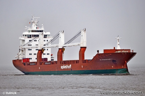
Find the position of the vessel Donaugracht on the map. The latter are known coordinates and path.
marine traffic ship tracker show on live map
The current position of vessel Donaugracht is 30.05118 lat / -90.66741 lng. Updated: 2025-10-22 01:47:38 UTCCurrently sailing under the flag of Netherlands
Donaugracht built in 2009 year
Deadweight:
17967 tDetails:
Last coordinates of the vessel:
UTC, 30.05123, -90.66743, course: 246, speed: 0UTC, 30.05121, -90.66741, course: 245, speed: 0
UTC, 30.05120, -90.66742, course: 246, speed: 0
2025-10-22 01:47:38 UTC, 30.05118, -90.66741, course: 245, speed: 0