 vesseltracker.com
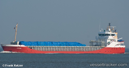
Find the position of the vessel Sydborg on the map. The latter are known coordinates and path.
marine traffic ship tracker show on live map
The current position of vessel Sydborg is 60.43608 lat / 22.21148 lng. Updated: 2025-11-13 20:18:49 UTCCurrently sailing under the flag of Netherlands
Sydborg built in 2000 year
Deadweight:
3780 tDetails:
Last coordinates of the vessel:
UTC, 60.43608, 22.21149, course: 17, speed: 0UTC, 60.43608, 22.21148, course: 17, speed: 0
UTC, 60.43608, 22.21149, course: 17, speed: 0
2025-11-13 20:18:49 UTC, 60.43608, 22.21148, course: 17, speed: 0