 vesseltracker.com
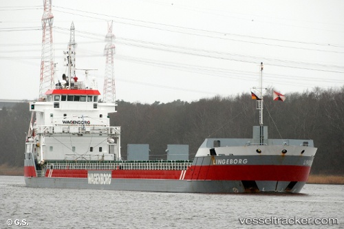
Find the position of the vessel Lingeborg on the map. The latter are known coordinates and path.
marine traffic ship tracker show on live map
The current position of vessel Lingeborg is 42.3533 lat / 14.415 lng. Updated: 2025-07-23 13:14:15 UTCCurrently sailing under the flag of Netherlands
Lingeborg built in 2007 year
Deadweight:
7350 tDetails:
Last coordinates of the vessel:
UTC, 42.3533, 14.415, course: -1, speed: 0UTC, 42.3547, 14.4165, course: 112, speed: 0
UTC, 42.3548, 14.4165, course: 112, speed: 0.1
2025-07-23 13:14:15 UTC, 42.3533, 14.415, course: -1, speed: 0