 vesseltracker.com
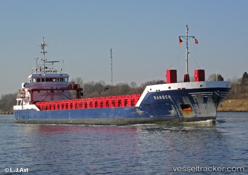
Find the position of the vessel Warber on the map. The latter are known coordinates and path.
marine traffic ship tracker show on live map
The current position of vessel Warber is 65.663131666667 lat / 24.523053333333 lng. Updated: 2025-09-15 04:53:55 UTCCurrently sailing under the flag of Netherlands
Warber built in 2010 year
Deadweight:
4114 tDetails:
Last coordinates of the vessel:
UTC, 65.663216666667, 24.522868333333, course: 222, speed: 0UTC, 65.663218333333, 24.522848333333, course: 222, speed: 0
UTC, 65.663206666667, 24.522828333333, course: 222, speed: 0
2025-09-15 04:53:55 UTC, 65.663131666667, 24.523053333333, course: 222, speed: 0