 vesseltracker.com
Live AIS position:
53.06565° N, 4.96232° E UTC. Near Oosterend),
updated 2025-11-19 16:13:50 UTC.
Find the position of the vessel Terschelling on the map. The latter are known coordinates and path.
marine traffic ship tracker show on live map
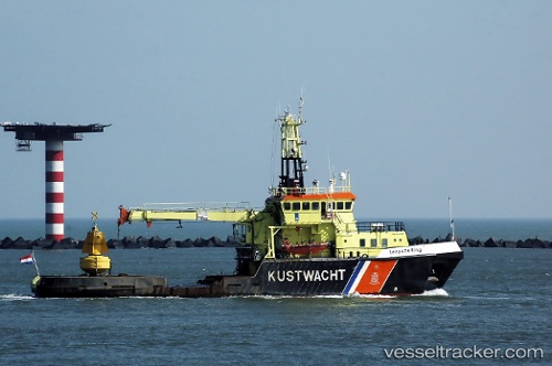
The current position of vessel Terschelling is 53.06565 lat / 4.96232 lng. Updated: 2025-11-19 16:13:50 UTCCurrently sailing under the flag of Netherlands
Terschelling built in 1988 year
Details:
Last coordinates of the vessel:
UTC, 52.95876, 4.77855, course: 160, speed: 0UTC, 52.95876, 4.77854, course: 160, speed: 0
UTC, 52.95877, 4.77854, course: 160, speed: 0
2025-11-19 16:13:50 UTC, 53.06565, 4.96232, course: 93, speed: 11.4