 vesseltracker.com
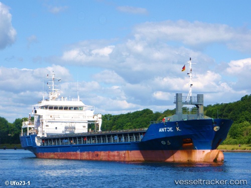
Find the position of the vessel Antje K on the map. The latter are known coordinates and path.
marine traffic ship tracker show on live map
The current position of vessel Antje K is 52.20833 lat / 3.01500 lng. Updated: 2025-10-18 09:44:09 UTCCurrently sailing under the flag of Netherlands
Antje K built in 2002 year
Deadweight:
4247 tDetails:
Last coordinates of the vessel:
UTC, 52.69902, 3.61700, course: 220, speed: 11.9UTC, 52.53833, 3.39500, course: -1, speed: 11
UTC, 52.32182, 3.14821, course: 213, speed: 11.1
2025-10-18 09:44:09 UTC, 52.20833, 3.01500, course: -1, speed: 10