 vesseltracker.com
Live AIS position:
51.08548° N, 3.74251° E UTC. Near GENT),
updated 2025-11-23 18:50:56 UTC.
Find the position of the vessel Voorneborg on the map. The latter are known coordinates and path.
marine traffic ship tracker show on live map
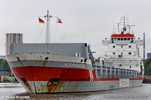
The current position of vessel Voorneborg is 51.08548 lat / 3.74251 lng. Updated: 2025-11-23 18:50:56 UTCCurrently sailing under the flag of Netherlands
Voorneborg built in 1999 year
Deadweight:
8734 tDetails:
Last coordinates of the vessel:
UTC, 51.17284, 3.79557, course: 149, speed: 1.3UTC, 51.09144, 3.73410, course: 174, speed: 3.1
UTC, 51.08547, 3.74232, course: 174, speed: 0
2025-11-23 18:50:56 UTC, 51.08548, 3.74251, course: 173, speed: 0