 vesseltracker.com
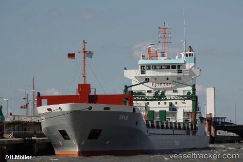
Vessel MANISA KRISTIN IMO: 9190212, MMSI: 246432000 General Cargo
Live AIS position:
UTC. Near KRIMPEN),
updated 2025-11-13 21:41:05 UTC.
Find the position of the vessel MANISA KRISTIN on the map. The latter are known coordinates and path.
marine traffic ship tracker show on live map
The current position of vessel MANISA KRISTIN is 51.90263 lat / 4.59073 lng. Updated: 2025-11-13 21:41:05 UTCCurrently sailing under the flag of Netherlands
MANISA KRISTIN built in 2000 year
Deadweight:
9100 tDetails:
Last coordinates of the vessel:
2025-11-13 21:41:05 UTC, 51.90263, 4.59073, course: -1, speed: 0