 vesseltracker.com
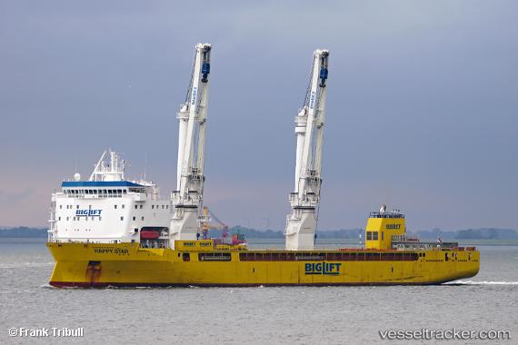
Vessel Happy Star IMO: 9661259, MMSI: 246715000 Heavy Load Carrier
UTC, 54.32863, -130.31697, course: 78, speed: 0.7
UTC, 54.32750, -130.31622, course: 183, speed: 1.6
2026-01-15 16:16:04 UTC, 54.21653, -130.33681, course: 248, speed: 0
Live AIS position:
UTC. Near Watson Island),
updated 2026-01-15 16:16:04 UTC.
Find the position of the vessel Happy Star on the map. The latter are known coordinates and path.
marine traffic ship tracker show on live map
The current position of vessel Happy Star is 54.21653 lat / -130.33681 lng. Updated: 2026-01-15 16:16:04 UTCCurrently sailing under the flag of Netherlands
Details:
Last coordinates of the vessel:
UTC, 54.32826, -130.31798, course: 74, speed: 0UTC, 54.32863, -130.31697, course: 78, speed: 0.7
UTC, 54.32750, -130.31622, course: 183, speed: 1.6
2026-01-15 16:16:04 UTC, 54.21653, -130.33681, course: 248, speed: 0